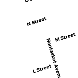
58 L STREET
Owner Information
TALBOT JENNIFER L
58 L ST
HULL, MA 02045-0000


Property Details
58 L STREET is classified as a Single Family Residential (Colonial).
The primary structure on this property was built in 1890. There are 1,728ft2 of built area within this property. There is 1,728ft2 of residential/living space within this property. This property is listed as having 6 rooms.
58 L STREET is valued at $498,100. The land is valued at $234,000 and the structures are valued at $263,300. There is an additional valuation of $800 on this property.
This property is in Zone SFA. Confirm with local Zoning Board authorities to ensure there are no overlays or other easements on this property.
The most recent deed for 58 L STREET is recorded at the local registrar in Book 46032, Page 325. 58 L STREET was last sold on Friday, September 11, 2015 for $370,000.
Assessment data from fiscal year 2022.
Flood Data
This property is completely within the AO Zone (shallow flooding, up to 2 feet).
This information is sourced from the FEMA National Flood Hazard Layer. See our full disclamer.
Broadband Internet Providers
| Provider | Type | Bandwidth (mbps) | |
|---|---|---|---|
| GCI Communication Corp. | Satellite | 0 | 0 |
| Comcast | Cable | 1000 | 35 |
| Verizon New England Inc. | Fiber | 940 | 880 |
| Verizon New England Inc. | DSL | 3 | 0 |
| Viasat Inc | Satellite | 100 | 3 |
| VSAT Systems, LLC. | Satellite | 2 | 1 |
| HughesNet | Satellite | 25 | 3 |
Broadband service provider data from December 2020.
Adjacent Properties
- 60 L STREET
Single Family Residential owned by LUGTHART RYAN MARIANNE - 63 K STREET
Single Family Residential owned by CUCCARO NICHOLAS J & HELEN - 55 K STREET
Accessory Land with Improvement owned by AUGENSTERN ARTHUR TRS 6A ST RL TY TR - 61 K STREET
Single Family Residential owned by ROSADO KEITH R & EMILY J - 54 L STREET
Single Family Residential owned by DOUCETTE MARK T & LINDA M